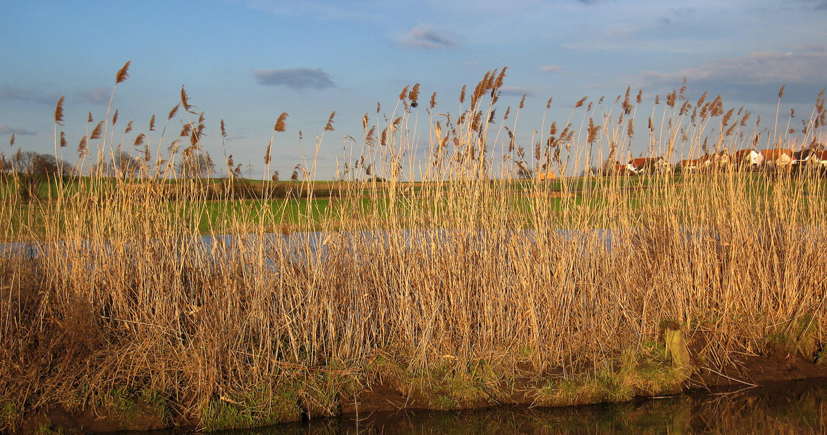
European common reed grass
Image credit: Andreas Trepte, CC BY-SA 2.5, via Wikimedia Commons
Background
European common reed grass (Phragmites australis subsp. australis) is an invasive wetland grass that forms dense stands of up to 15 feet tall. It reduces habitat quality for native fish, insects, plants and birds; decreases biodiversity; and can alter water chemistry and topography. Both the invasive and a native subspecies of P. australis occur in Minnesota.
Future management of non-native Phragmites will depend upon knowing where it is in the landscape. Monitoring large, remote areas of the state can be difficult and expensive. Remote sensing technology offers a new opportunity for monitoring populations more easily over time.
This project took advantage of state-of-the-art, high-resolution satellite imaging to remotely detect non-native Phragmites in the Minnesota landscape.
Research questions
- How accurate is remote sensing in the detection of non-native Phragmites at known locations of infestation?
- What is the potential for using remote sensing to detect Phragmites across large areas, like the state of Minnesota?
Outcomes
Researchers found that drones and machine learning can be used to accurately map invasive Phragmites stands. It is possible to identify previously unknown Phragmites patches and to monitor known patches. Drones are able to capture the structural differences between Phragmites and other species at specific times of the year.
The team used widely available aerial imagery and LiDAR to develop a state-of-the-art workflow using a combination of Object-Based Image Analysis (OBIA) and machine learning (ML) algorithms that led to highly accurate detection of Phragmites.
For land managers, the process of mapping an area for Phragmites could take place in a day or less with the appropriate technology and imagery. This makes detecting and monitoring the invasive species in difficult terrain much more accessible than it was previously.
Publications
- Using Voting-Based Ensemble Classifiers to Map Invasive Phragmites australis (Remote Sensing, 2023)
- Improving Machine Learning Classifications of Phragmites australis Using Object-Based Image Analysis (Remote Sensing, 2023)
- Mapping Invasive Phragmites australis Using Unmanned Aircraft System Imagery, Canopy Height Models, and Synthetic Aperture Radar (Remote Sensing, 2021)
- Mapping Invasive Phragmites australis Using Unmanned Aircraft System Imagery, Canopy Height Models, and Synthetic Aperture Radar (master’s thesis, 2020)
Outreach
- Minnesota GIS/LIS Consortium Conference
- Minnesota Water Resources Conference
- Upper Midwest Invasive Species Conference[placeholder]
News and media
- 5 Ways Researchers Are Using Drones to Stop Invasive Species (MITPPC, 2019)