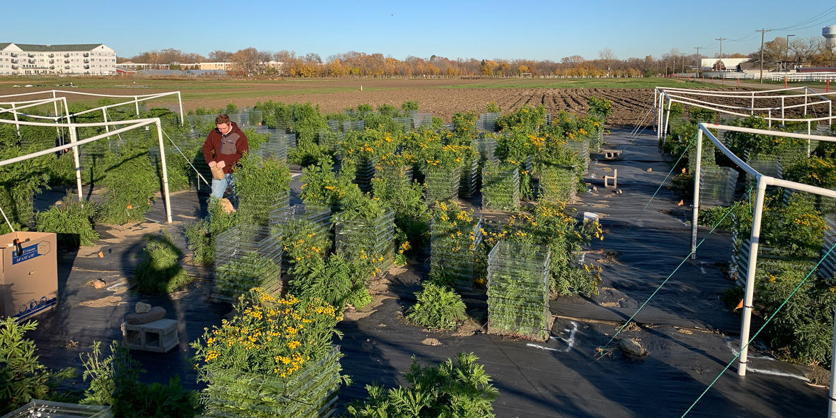
Common tansy experimental garden plot, St. Paul, MN. Photo provided by Ryan Briscoe Runquist.
Background
Computer-generated models make it possible for researchers to predict where invasive species are most likely to spread under future climate conditions. Machine learning techniques coupled with field survey data produce reliable maps that managers can use in early detection efforts. MITPPC scientists have already created predictive model maps of 9 invasive weed species on Minnesota’s Noxious Weed List to make early detection easier and improve the State’s eradication efforts.
An additional phase of the project aimed to improve the model for more fine-scale prediction of the invasive species common tansy and leafy spurge. Researchers took an innovative approach to species surveying across the Minnesota landscape by using techniques like remote sensing and hyperspectral satellite imaging.
Research questions
- What is the current and future distribution of common tansy and leafy spurge?
- How will changes in temperature and moisture affect the growth and reproduction of common tansy and leafy spurge?
- How do populations of common tansy and leafy spurge differ across the state and how have both species been spreading?
Outcomes
Using cutting-edge, deep learning computer models, large scale field experiments, and genomic analyses, researchers were able to improve predictions about the capacity for range expansion of leafy spurge and common tansy. Both species demonstrated trait evolution during range expansion. This has the potential to impact further invasion and may influence the response to climate change. It also impacts future decision-making to manage these invasive species as they evolve under changing conditions.
Publications
- Chronosequence of invasion reveals minimal losses of population genomic diversity, niche expansion, and trait divergence in the polyploid, leafy spurge (Evolutionary Applications, 2023)
- Deep learning detects invasive plant species across complex landscapes using Worldview-2 and Planetscope satellite imagery (Remote Sensing in Ecology and Conservation, 2022)
- Improving predictions of range expansion for invasive species using joint species distribution models and surrogate co‐occurring species (Journal of Biogeography, 2021)
- Predicting range expansion of invasive species: Pitfalls and best practices for obtaining biologically realistic projections (Diversity and Distributions, 2020)
- Species distribution models throughout the invasion history of Palmer amaranth predict regions at risk of future invasion and reveal challenges with modeling rapidly shifting geographic ranges (Nature Scientific Reports, 2019)
Outreach
- Upper Midwest Invasive Species Conference, 2022
- Ecological Society of America - Montreal, 2022
- UMN American Society of Photogrammetry and Remote Sensing Student Chapter, 2022
- Upper Midwest Invasive Species Conference, 2020
News and media
- Enhanced computational approaches boost invasive plant predictive power (MITPPC, 2024)
- Caught on camera: invasive species monitored using satellite imagery and AI (BioTechniques.com, 2022)
- A combination of living and nonliving selective forces drive local adaptation across species (PNAS.org, 2020)
- Meet the Researcher: Ryan Briscoe Runquist (MITPPC)