September 18, 2023
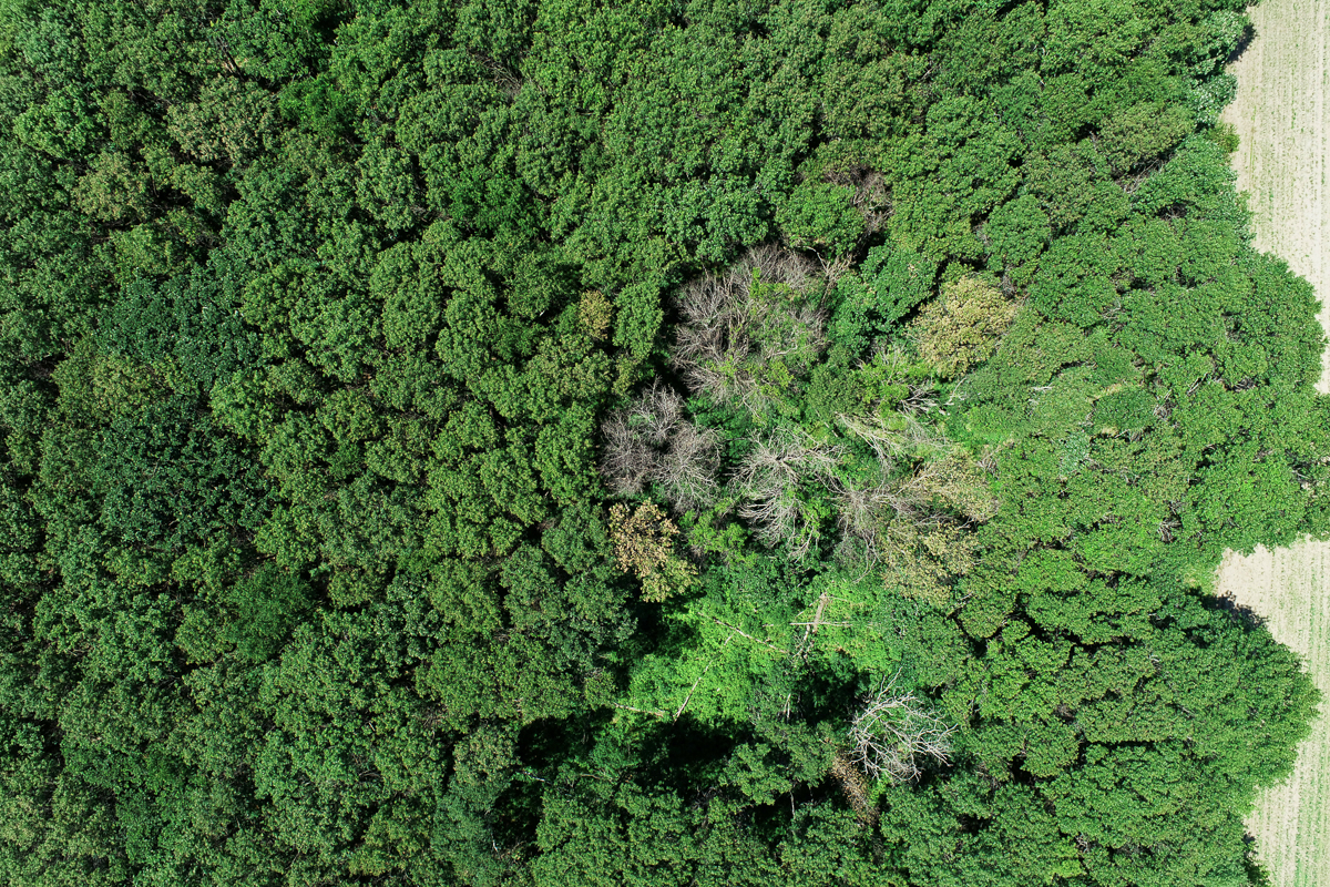
As our planet rapidly changes, trees are increasingly dying from diseases like oak wilt. Oak wilt is a fungus that moves through the vascular system of oak trees causing rapid mortality. The spread of disease can be stopped if foresters know where the disease outbreaks occur before they spread.
Satellites capture daily images of reflected light from forests and send them back to Earth. Oak wilt limits the amount of water that reaches the canopy, causing leaves to wilt and change color before the tree dies. These impacts can be observed in satellite imagery.
New research headed by authors in the Department of Ecology, Evolution, and Behavior at the University of Minnesota is harnessing this data to protect our forests from oak wilt.
The researchers found that:
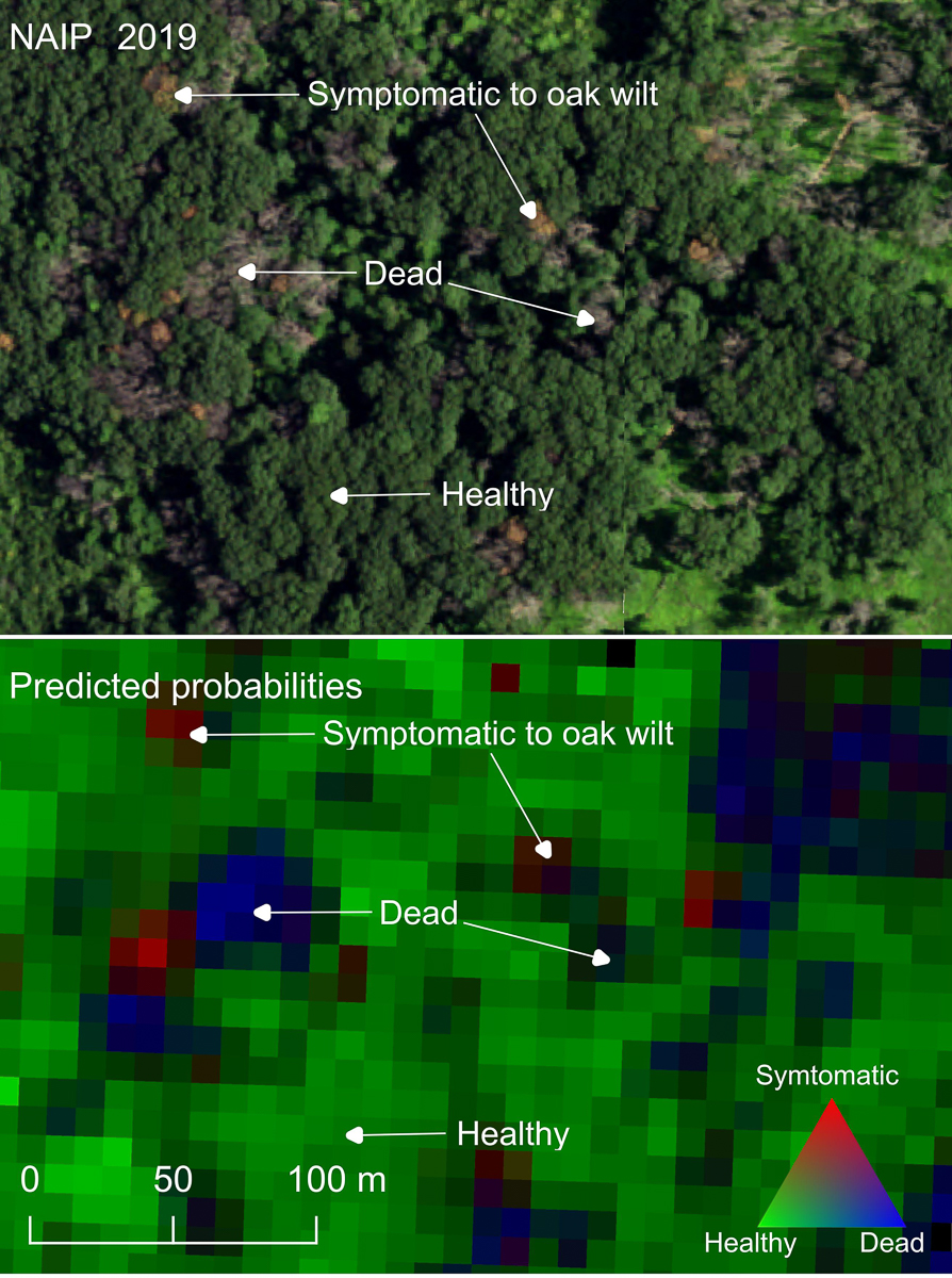
- Changes in light reflectance throughout the season that can be observed from space can be used to identify and map trees infected with oak wilt as they progress from displaying healthy canopies in the beginning of the season to wilted and stressed canopies later on.
- The seasonal pattern of these changes can be tracked by computer algorithms to monitor disease appearance, progression and spread through time.
- Maps can be produced that help forest managers know where to treat sick trees to prevent the spread of disease.
"These mapping tools can help protect forests from devastating diseases,” said Jeannine Cavender-Bares, the project leader and professor in the College of Biological Sciences. “They are an important contribution to the development of a Global Biodiversity Observing System, which is a global effort currently underway to connect remotely sensed signals from ecosystems to ground-based biodiversity information for the purpose of managing and conserving ecosystems."
As a next step, the team plans to develop spatially explicit disease maps to help park managers. “Our results can help stakeholders to locate and monitor disease hotspots throughout the state, decreasing time to detection and increasing management efficiency to slow the spread of this devastating tree disease,” said Jose Antonio Guzmán Quesada, the lead author and post-doctoral associate in the department of Ecology, Evolution and Behavior. The effort will be expanded to include other tree diseases and provide other tools to help manage urban forests.
This research was supported by the Minnesota Invasive Terrestrial Plants and Pests Center through the Environment and Natural Resources Trust Fund as recommended by the Legislative and Citizen Commission for Minnesota Resources, NASA, the US Forest Service, and the National Science Foundation ASCEND Biology Integration Institute.
Related content
Mapping oak wilt disease from space using land surface phenology research paper (Remote Sensing of Environment, 2023)
Detection and treatment of oak wilt research project
Saving America's tree: Oak wilt early detection in Minnesota